Trending

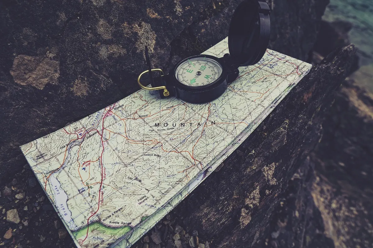
Most navigational trouble on the fells doesn't begin with a broken compass or a map blown into a tarn. It begins with a small, reasonable-looking decision — following the wrong wall, walking a bearing fifty paces too long, glancing at a phone screen instead of the ground. The errors are ordinary. It's the compounding that hurts.
Here are the five that send people off line most often, and the habit that catches each one.
Following a linear feature — a wall, fence, stream, ridge, forest edge — is the most useful trick in hill navigation and the easiest to abuse. The classic failure looks like this: two walls meet at a corner in mist, you take the one heading broadly the right way, and because nothing feels wrong you don't notice for a kilometre. Streams fork. Fences end at a boundary. A ridge that looked continuous on the map drops into a col and splits.
The fix is to handrail deliberately rather than hopefully. Before you commit to a handrail, answer three things:
Keep the map in your hand and thumb it — your thumb marking your current position, shifting along the route as you walk. It takes a second and it stops you losing contact with the map entirely.
A map held north-up while the ground runs east is worse than no map, because it feels authoritative. Set the map to the ground at every decision point: lay the compass on it, line the edge up with north, and turn your body until the map matches what you can see. In clear weather this takes two seconds. In mist it's the difference between a re-entrant that runs away from you and one that runs towards you.
Do it when you stop, not while walking. Stop, set, check, then move.
A bearing is only as good as the place you took it from. If your start point is ten minutes of guesswork out, a perfectly executed bearing will lead you precisely to the wrong spot. The other common error is taking the bearing and then abandoning it — walking on the direction of travel arrow from memory rather than the needle.
A workable routine:
Bearing, distance, back bearing. That loop is the whole discipline.
Pace counting fails for a simple reason: people use a figure they half-remember instead of one they've measured. The number of paces you take per hundred metres changes with slope, ground and load, and it can change by a third between a level track and a heathery climb.
Measure your own. On a level stretch of known distance, count double paces — every time your right foot lands — over several hundred metres and take an average. Then adjust for conditions:
Use timing alongside pacing. A rough planning figure of about four kilometres per hour on level ground, plus roughly a minute for every ten metres of ascent, is a reasonable starting point for hill walking, but it is a planning tool, not a law — your own times on familiar ground are far more useful. If the clock and the pace count disagree with the map, believe the map and work out why.
Walking directly at a point on a linear feature — a gate in a wall, a bridge on a stream — is a gamble in poor visibility. Miss it by fifty metres and you arrive at the wall with no idea which way to turn.
Aim off instead. Deliberately take a bearing a hundred metres or so to one side of the target, hit the feature there, and turn along it. You'll arrive knowing which way to go, every time. The same thinking gives you a catching feature: something beyond your target that stops you if you overshoot, such as a stream, a track or a change in slope. Plan one before you need it.
A phone or GPS unit is an excellent confirmation of a decision you've already made, and a poor substitute for one. The failure mode isn't the technology — it's the skill that goes unused. If you've spent the day following a green line without matching it to the map, you've had the navigation done for you, and when the battery dies in a cold wind you're standing in the same place with less idea of where it is.
Keep the paper map out and the phone in your pocket. Check the screen to confirm, not to decide. Carry a spare battery or power bank, keep the device warm, and know your grid reference well enough to read it aloud.
Every mistake above is caught by the same small pause. Before you set off on a leg, stop and answer three questions: Where am I? What am I aiming for? What tells me I've arrived? Add a fourth in bad weather: What will I hit if I miss it?
Thirty seconds at a wall corner, a stream crossing or a summit cairn is cheap. The alternative is an hour of wandering in mist, and the slow realisation that the ground no longer matches anything on the map.
Two more things worth building in. Look back often — the view behind you is the view you'll have on the return, and it's poor practice to see it for the first time at the end of the day. And if you are genuinely uncertain, with cloud down and the light going, turning back or dropping to a known feature is a navigation decision, not a failure of nerve. Tell someone where you're going and when you expect to be back. In the UK, if you need mountain rescue, dial 999 and ask for the police, then mountain rescue.
Photo: JoshuaWoroniecki / Pixabay